 Photo: Alberta Parks
 Big Knife Provincial Park
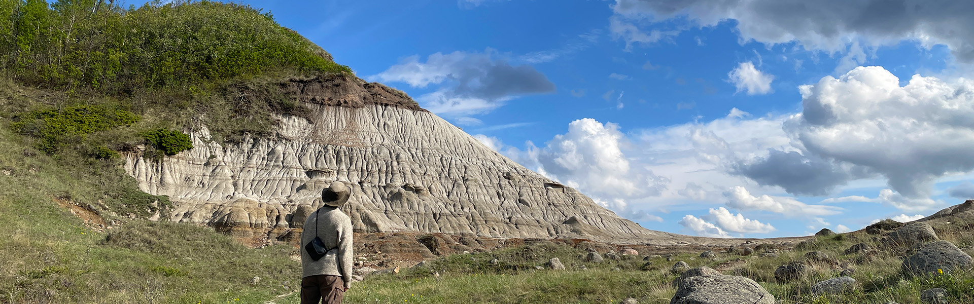
ab parks inside Big Knife Provincial Parkwhat to expect
Big Knife Provincial Park is set along the south side of the Battle River and contains an amazing mix of ecosystems. Visitors will have their choice of trails including to the scenic hoodoos, along the highlands in a mixed-forest, or along the flatlands river valley. The reservoir just downstream of the park slows the river and provides easy and calm access for water activities.
Description: Alberta Parks
the basics
The campsites
Things to do nearby
Within 5 km — trails, viewpoints, beaches, boat launches you can reach without packing up camp.
Plus 2 user-tagged viewpoints, 2 user-tagged fishing access points, 1 user-tagged boat launch on OpenStreetMap — visible as pins on the map below.
What's around
Big Knife Provincial Park plus 1 named place to see and do nearby — trails, beaches, viewpoints, water, and services.
Water + services
- Nearest potable water
- dump station node/8759342186
1 user-tagged dump station on OpenStreetMap.
what to know
Updated each morning from provincial parks and Environment Canada.
what to bring
This list adapts to Big Knife Provincial Park. no showers means a travel towel;
If Big Knife Provincial Park is full
Other places to stay within 25 km.
- Group Camping
- Diplomat Trout Pond
- Forestburg RV Park
- Forestburg Kinsmen RV Park
- Battle River Crossing Resort
- Campground
- Heisler Camp Ground
- Campground
Plus 2 user-tagged dispersed sites on OpenStreetMap — often genuine wild-pitches; check access rights before relying on one.