 Photo: Gwillim Lake Provincial Park
 Gwillim Lake Provincial Park
BC Parks inside Gwillim Lake Parkwhat to expect
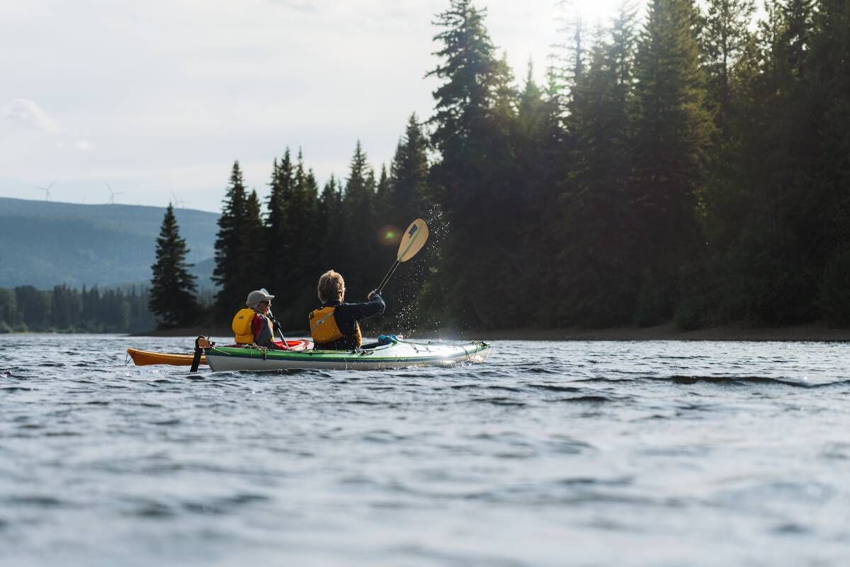
Gwillim Lake Provincial Park is situated half way between Chetwynd and Tumbler Ridge on the beautiful Don Phillips Way (Highway 29) amidst the Rocky Mountain foothills. The 32,326 hectare park boosts wildlife, activities and landscapes for everyone to enjoy. The campground has a wilderness trail, play area, boat launch, viewpoint and lakeside day-use. Be sure to take advantage of the excellent water activities this park has to offer and remember to bring your fishing rod, canoe, kayak and boat.
Description: BC Parks
the basics
The campsites
Water + services
- Nearest dump station — dump station node/11074151015
- Nearest potable water — Bulk Water Dispensing Station
what to bring
This list adapts to Gwillim Lake Provincial Park. no showers means a travel towel;
If Gwillim Lake Provincial Park is full
Other places to stay within 25 km.
Plus 2 user-tagged dispersed sites on OpenStreetMap — often genuine wild-pitches; check access rights before relying on one.