 Esri, Maxar, Earthstar Geographics
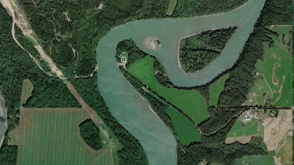
 Photo: Klondyke Ferry Municipal Campround · area photo
Klondyke Ferry Municipal Campround
Public campground Alberta
the basics
Access & policies
Pets allowed
what to know
Updated each morning from provincial parks and Environment Canada.
Pet-friendly
Dogs are allowed on-leash. Pick up after them; some parks have leash-length rules at the trailheads.
Road closure reported ~0.1 km away
511 Alberta reports on HWY-661 (as of 2026-11-06): Traffic advisory on HWY-661 Both Directions At Klondyke Fry. All lanes closed. Weight Restriction: 50000kg Activities: Road Closed, Use alternate route This may or may not affect your route in — check 511 Alberta before you drive out. 511 Alberta live map →
recent reports
This page told you what we know — tell the next camper what you saw. One tap, no account needed.
other campgrounds nearby
Other places to stay within 25 km.
- Vega Natural Area
- Fort Assiniboine Sandhills Wildland Provincial Park
- Hubert Lake Wildland Provincial Park
Plus 1 user-tagged dispersed site on OpenStreetMap — often genuine wild-pitches; check access rights before relying on one.
keep an eye on Klondyke Ferry Municipal Campround
Every Thursday we send the weekend list: which campgrounds still have sites for the coming weekend, plus fire bans and new conditions. We’ll tag you to this park so its alerts reach you first as they roll out.
One email. Unsubscribe anytime. We don’t share addresses. — [email protected]